


 Package Overview
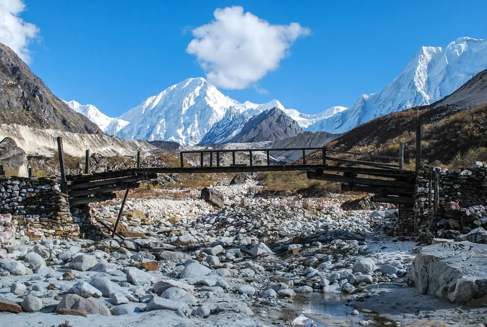
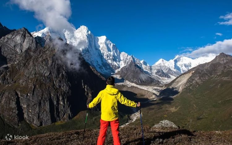
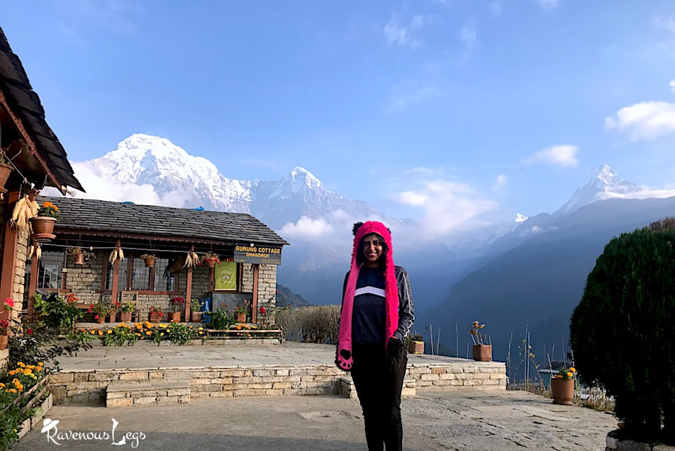
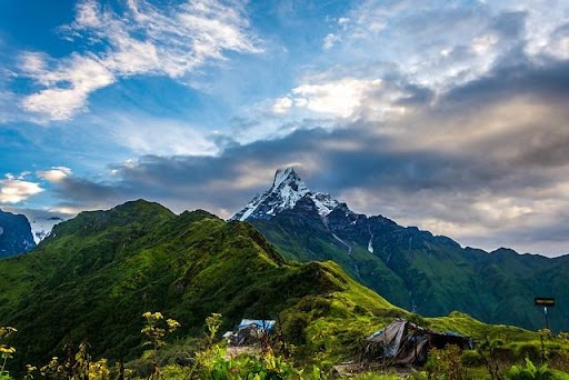
The Manaslu Circuit Trek is one of Nepal’s most spectacular and culturally immersive Himalayan journeys, circling Mt. Manaslu (8,163 m)—the world’s eighth-highest mountain. This 9-day itinerary takes you deep into a restricted trekking region, offering a rare blend of dramatic mountain scenery, Tibetan-influenced culture, and remote wilderness far from the crowds of Everest and Annapurna.
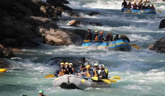
Beginning with a scenic drive from Kathmandu to Jagat, the trail follows the powerful Budhi Gandaki River, winding through lush forests, terraced hillsides, and traditional Gurung villages. As the trek progresses, the landscape transforms into high alpine terrain, with ancient monasteries, mani walls, chortens, and prayer flags marking the strong influence of Tibetan Buddhism.
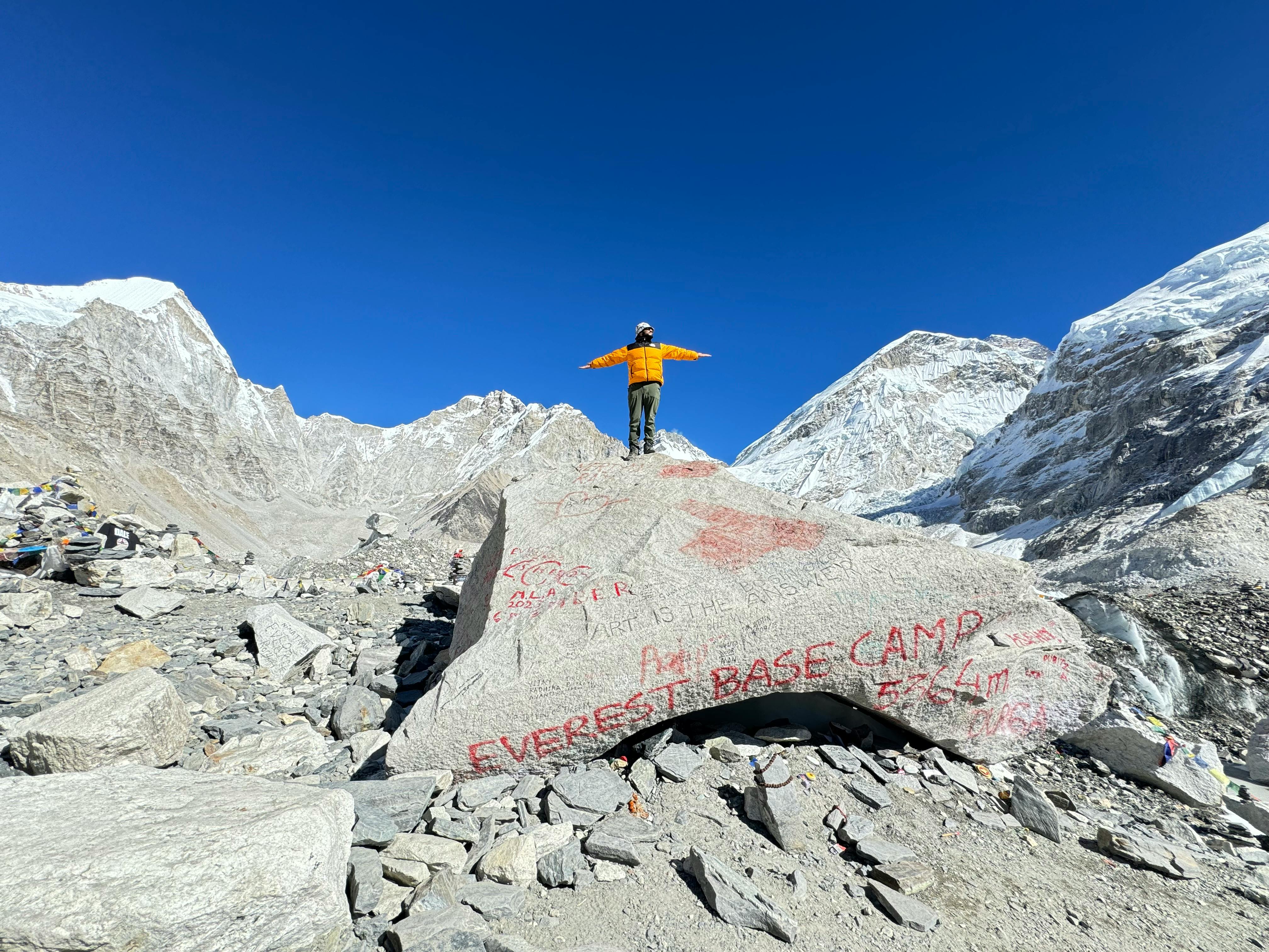
A key highlight is the acclimatization stop at Samagaon, where trekkers can hike to Manaslu Base Camp, Birendra Lake, or Pungyen Gompa. The journey then ascends to Dharmasala (Larke Phedi) before crossing the thrilling Larkya La Pass (5,160 m)—one of Nepal’s most dramatic high mountain passes. The trek concludes with a descent into the lush Manang region and a scenic drive back to Kathmandu.
 Trip Itinerary
Drive Time: 7 to 8 hours
Overnight: Jagat
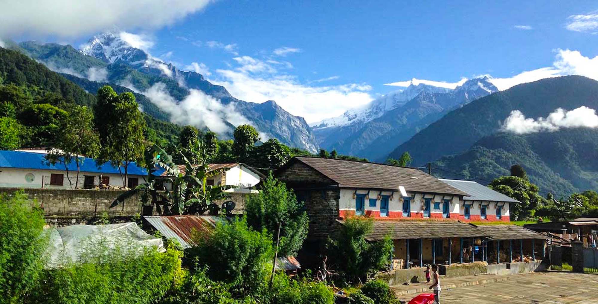
Your journey to the Manaslu region begins with a scenic but long drive from Kathmandu to Jagat. The first part of the drive follows paved roads through the rolling hills of central Nepal. After reaching the town of Arughat, the road becomes increasingly rugged and unpaved, winding along steep ridgelines and riverbanks. Expect a bumpy ride as you travel through small villages, terraced fields, and forests, all while following the Budhi Gandaki River upstream.
As the altitude gently rises, the landscape shifts from lowland hills to more dramatic terrain typical of the Himalayan foothills. The final stretch brings you to Jagat, a traditional Gurung village built of stone with flagstone paths. This is the official entry checkpoint into the Manaslu Conservation Area, and your trekking permits will be registered here.
Jagat marks the beginning of the restricted trekking zone, and from this point onward, you’ll be venturing into one of Nepal’s most culturally rich and geographically diverse trekking areas. You’ll stay overnight in a local teahouse with meals provided to help prepare you for the trek ahead.


Trek Time: 5 to 6 hours
Overnight: Deng
Your trekking day begins with a gradual ascent from Jagat, following a scenic and well-defined trail through terraced fields and dense forest. The route first climbs to Salleri, offering great views of Shringi Himal, before descending gently to Sirdibas, a charming village adorned with Buddhist prayer flags and several small gompas. As you continue, you cross a suspension bridge to reach Philim, one of the larger settlements along the trail where your permits will be checked again. Philim also offers an opportunity to experience the local culture—many trekkers try the locally brewed alcohol at tea shops along the way.
Leaving Philim behind, you continue along the western bank of the Budhi Gandaki River. The trail begins to narrow and enters a more dramatic gorge, where river-carved boulders and overhanging cliffs enhance the wild beauty of the landscape. You pass through forests filled with rhododendron, Himalayan pine, and glimpses of cascading waterfalls.
Eventually, you cross the Siyar Khola on a long suspension bridge and come to a junction, where the trail to Tsum Valley branches off to the right. Continuing on the main Manaslu Circuit route, you reach Pewa, a peaceful village known for its traditional teahouses and warm hospitality. From here, it’s a short final stretch to Deng, your destination for the night.
Deng marks the cultural transition point into the more Tibetan-influenced section of the Manaslu region. In the evening, you can gather around the fireplace in the teahouse, sharing stories with fellow trekkers and locals before retiring for a well-earned rest.
Trek Time: 5 to 6 hours
Trek Distance: 20 km / 12 miles
Overnight: Namrung
Today’s trek begins with breakfast in Deng, followed by a scenic walk through dense bamboo forests, ascending steadily along the Budhi Gandaki River. As you move higher, the trail leads across a suspension bridge and climbs up to the small settlements of Rana and Bihi Phedi, where white-faced langurs are often spotted near the trail, scavenging for food. Prayer flags, mani walls, and chortens become more common, marking the increasing influence of Tibetan Buddhism in the region.
From Bihi Phedi, the trail continues through a beautiful forest of fir and oak. You’ll cross the river several times via suspension bridges and pass through the village of Ghap, which lies in a more rugged section of the route. This area is known for frequent landslides, and caution is advised—be sure to follow your guide’s instructions carefully. Despite the challenging terrain, the trail offers breathtaking views and a sense of true adventure as you zigzag your way higher into the Himalayas.
After Ghap, a gradual climb takes you into a peaceful alpine forest before the final push—an hour-long zigzag ascent along an uneven trail—to reach Namrung, located at 2,660 meters. Namrung is a well-developed village and an important checkpoint on the trek. From here, you'll enjoy your first clear views of Ganesh Himal, Siringi Himal, and glimpses of the Manaslu range. Namrung also offers surprisingly modern comforts. One local entrepreneur, after spending years working in Hong Kong, had returned to build a stylish hotel and restaurant here.
Trek Time: 6 to 7 hours
Trek Distance: Approx. 19 km / 11.8 miles
Overnight: Samagaon
Today’s trail is a rewarding and scenic walk through some of the most culturally rich and visually stunning sections of the Manaslu Circuit. Leaving Namrung, you begin with a steady ascent through alpine forests of fir, pine, and juniper, where the terrain gradually opens up and the air becomes crisper with altitude.
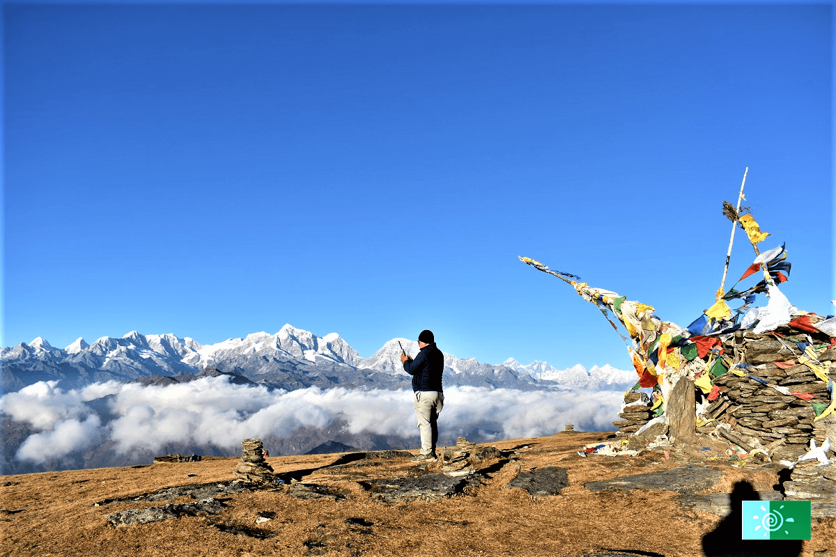
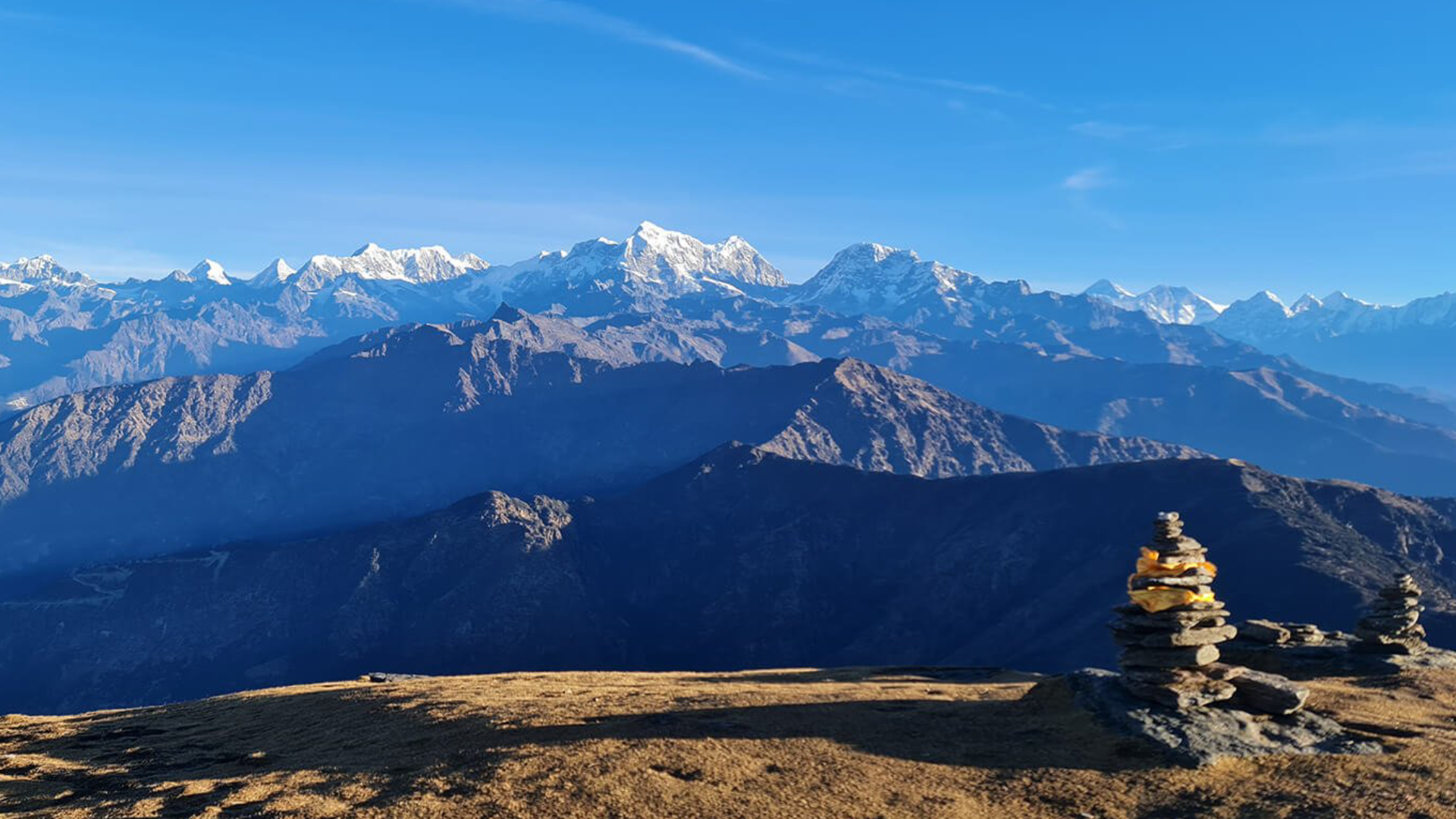
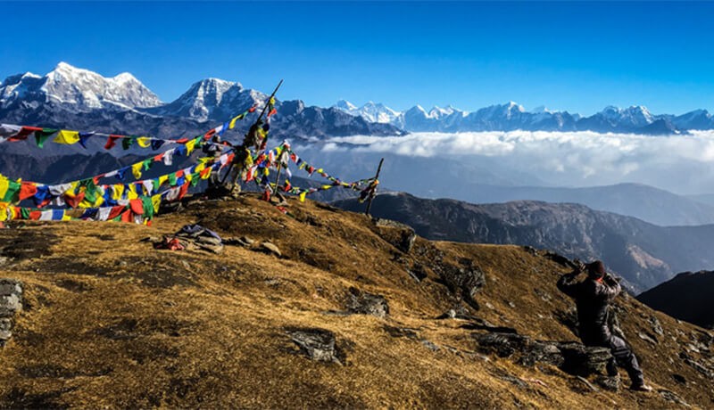
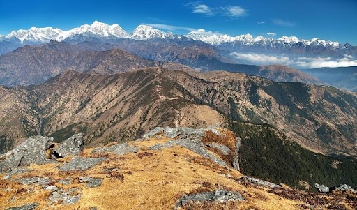
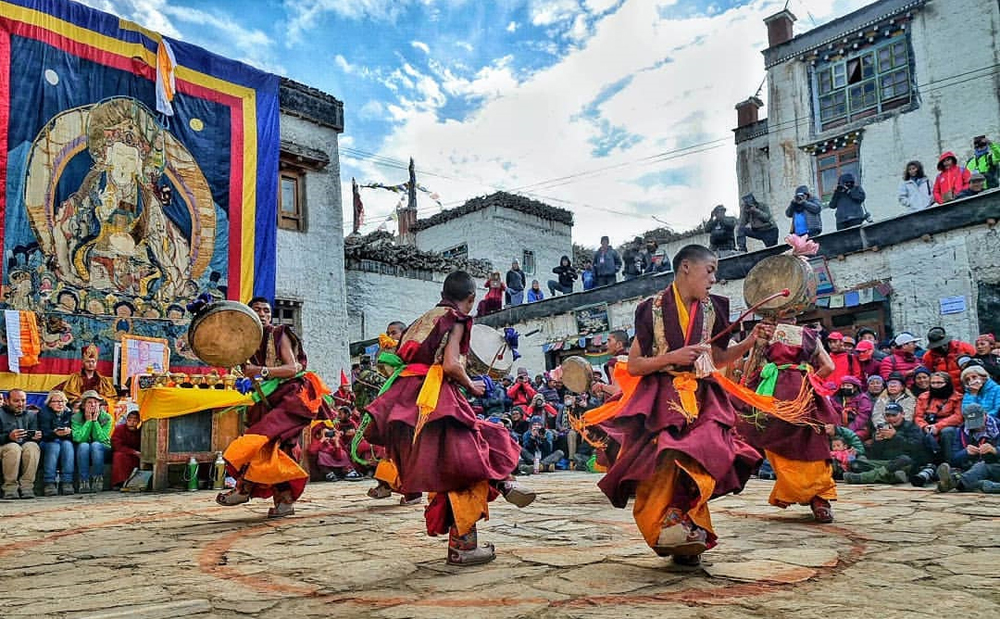
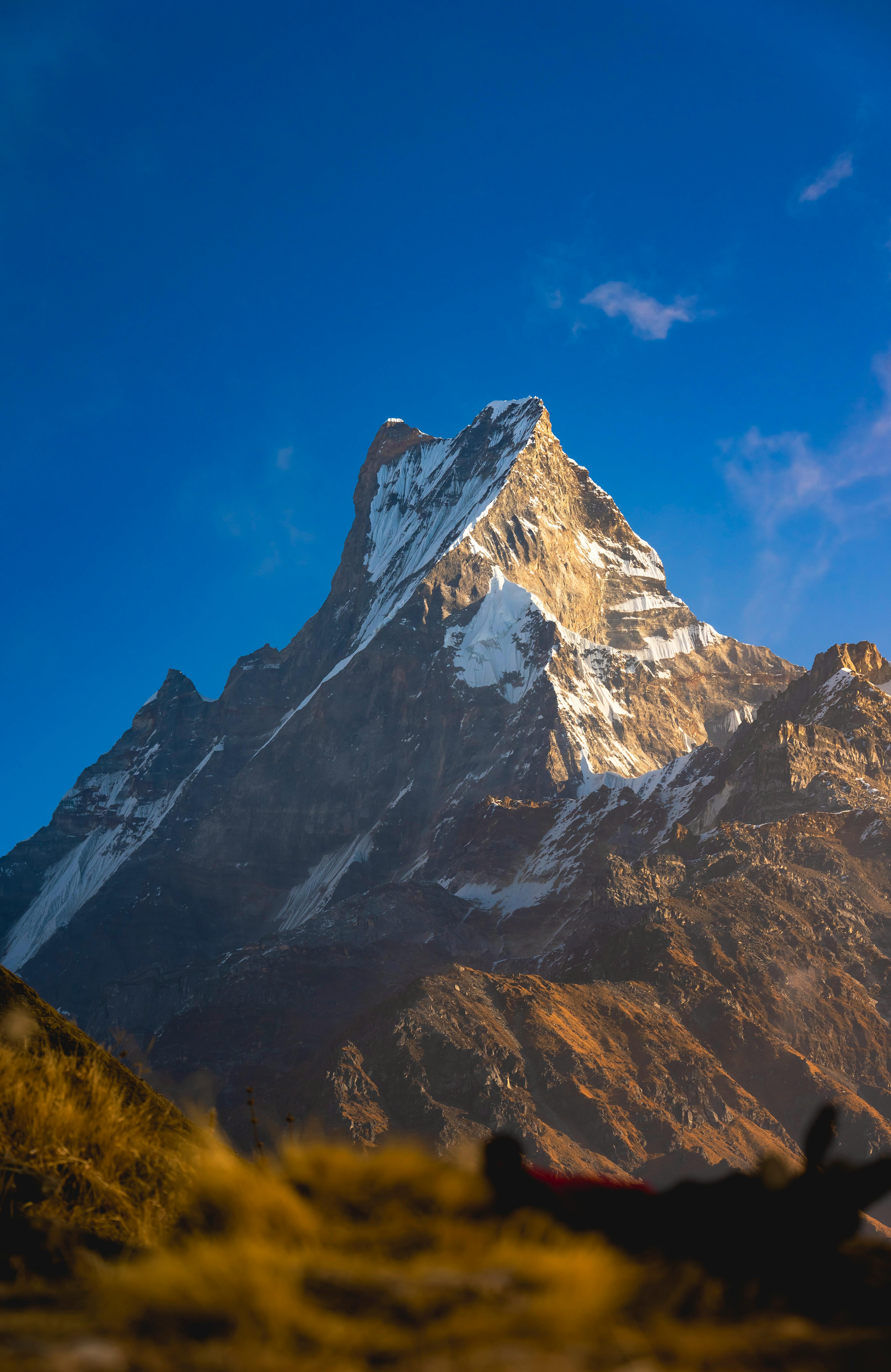
Your route winds through a string of picturesque Tibetan-influenced villages, starting with Lihi, known for its chortens, barley terraces, and authentic stone houses. You then pass through Sho before reaching the beautiful village of Lho (2,957 m). Lho offers your first full view of Mt. Manaslu (8,163 m / 26,781 ft), its snow-covered flanks rising dramatically above the valley. Be sure to take time to visit Ribung Monastery, perched just above the village—it’s one of the best places to capture panoramic views of the Manaslu massif.
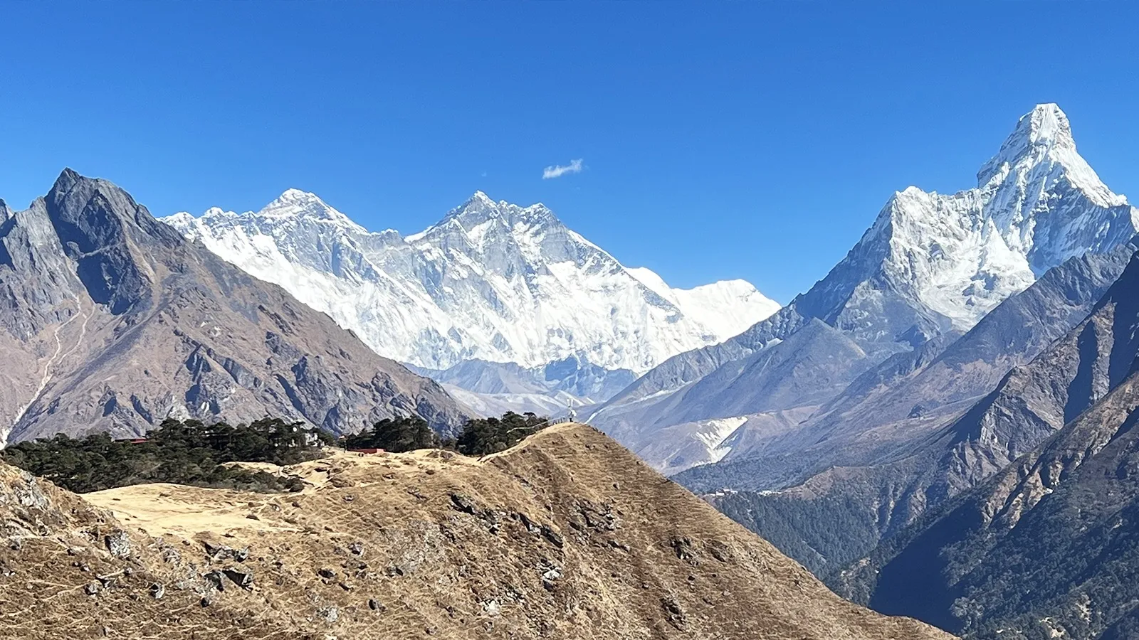
From Lho, the trail continues through expansive yak pastures and quiet forests to the village of Shyala, a high, windswept settlement set in a wide glacial basin. This is where the landscape truly becomes an alpine amphitheater. You are now surrounded by a crown of Himalayan peaks: not only Manaslu itself, but also Himal Chuli (7,893 m), Ngadi Chuli (7,871 m)—also known as Peak 29—along with distant views of Ganesh Himal (7,422 m), and the lesser-known but striking Baudha Himal (6,672 m) and Shiringi Himal (7,187 m).
From Shyala, it’s a short and gentle final stretch of about an hour to Samagaon, situated at 3,530 meters. The approach to the village is serene, passing through rhododendron gullies, mossy pine woods, and streams with crystal-clear water. While the towering peaks fade behind you upon entering the village, Samagaon's cultural and pastoral charm takes over.
Samagaon is the largest settlement in the Nubri Valley and an important acclimatization stop before higher altitudes. The village is dotted with traditional Tibetan homes, mani walls, and a large monastery. You’ll also find modern amenities such as a health post, shops, basic Wi-Fi, and a heliport, making it both a strategic and comfortable place to rest.
Options: Manaslu Base Camp – 4,400 m / 14,435ft. OR Birendra Lake – 3,450 m / 11,318 ft.
Activity Time: 2 to 7 hours (depending on chosen hike)
Trek Distance:
Overnight: Samagaon
Today is an essential rest and acclimatization day in Samagaon (3,530 m), giving your body time to adjust to the high altitude before heading toward Larkya La Pass in the coming days. While this is a “rest” day, it’s highly recommended to stay active and gain some elevation during the day to help your body adapt.
You have multiple hike options, depending on your energy level and interest:
OPTION 1: HIKE TO MANASLU BASE CAMP (4,400 M / 14,435 FT)
This is a challenging but highly rewarding side trip that takes about 5 to 7 hours’ round trip. You’ll begin by following a trail that skirts past Birendra Lake and then ascends steadily along a rocky path toward the north face of Mt. Manaslu. The terrain becomes rugged and glacial as you approach the base camp.
The altitude gain is significant, so it’s important to hike slowly, stay well-hydrated, and monitor for signs of altitude sickness. Despite the difficulty, the views at the top are unforgettable—with towering ice walls, glaciers, and panoramic vistas of the Manaslu massif. You may even spot Himalayan Thars or grazing yaks along the way.
Note: Be sure to bring a packed lunch and plenty of water for this hike.
OPTION 2: HIKE TO BIRENDRA LAKE (3,450 M / 11,318 FT)
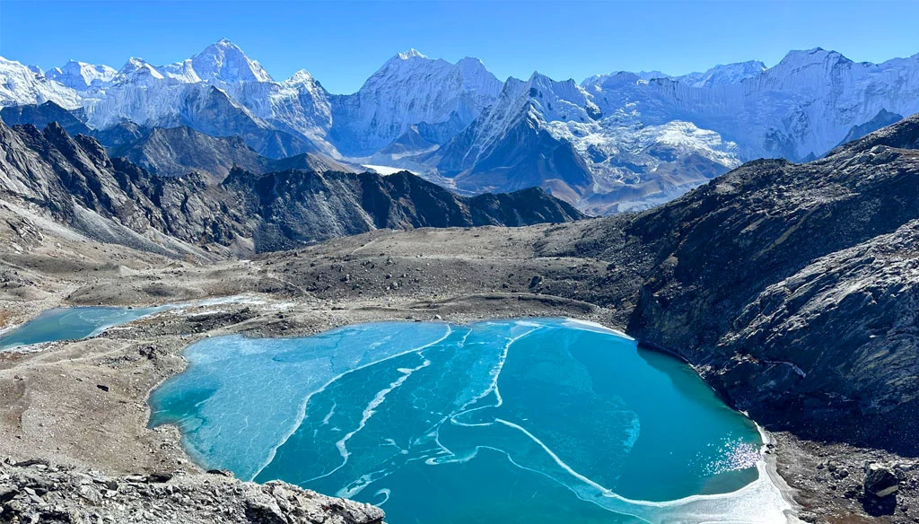
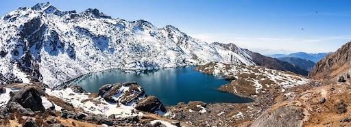
If you're feeling the effects of altitude or want a shorter and more relaxed hike, a round trip to Birendra Tal takes just 1.5 to 2 hours. This stunning glacial lake sits directly below Mt. Manaslu and reflects its icy crown in turquoise waters. It's a peaceful place to sit, take photos, and enjoy the scenery.
OPTION 3: VISIT PUNGYEN GOMPA (APPROX. 4,000 M / 13,123 FT)
Another excellent acclimatization hike is a day trip to Pungyen Gompa, located east of Samagaon in the Nubri Valley. The hike takes about 5 to 6 hours’ round trip and passes through open pastureland often filled with grazing yaks and Himalayan wildlife. At the monastery, perched on a hilltop, you’re treated to expansive views of the Manaslu Glacier and surrounding peaks. The gompa is quiet and spiritual, making it a meaningful cultural side trip.
In the evening, you’ll return to Samagaon for dinner and rest. You can also take time to explore the village, visit the local monastery, chat with the friendly Nubri people, or relax at the teahouse. This is your final night here before ascending further into high alpine terrain.
Trek time: Approx. 5 to 6 hours (including stop in Samdo)
Overnight: Dharmasala
After breakfast, you begin a gradual ascent through alpine landscapes, leaving behind the village of Samagaon. Early in the trek, you will pass through extended yak pastures nestled in a broad valley, lined with long mani walls and home to a variety of Himalayan birds.
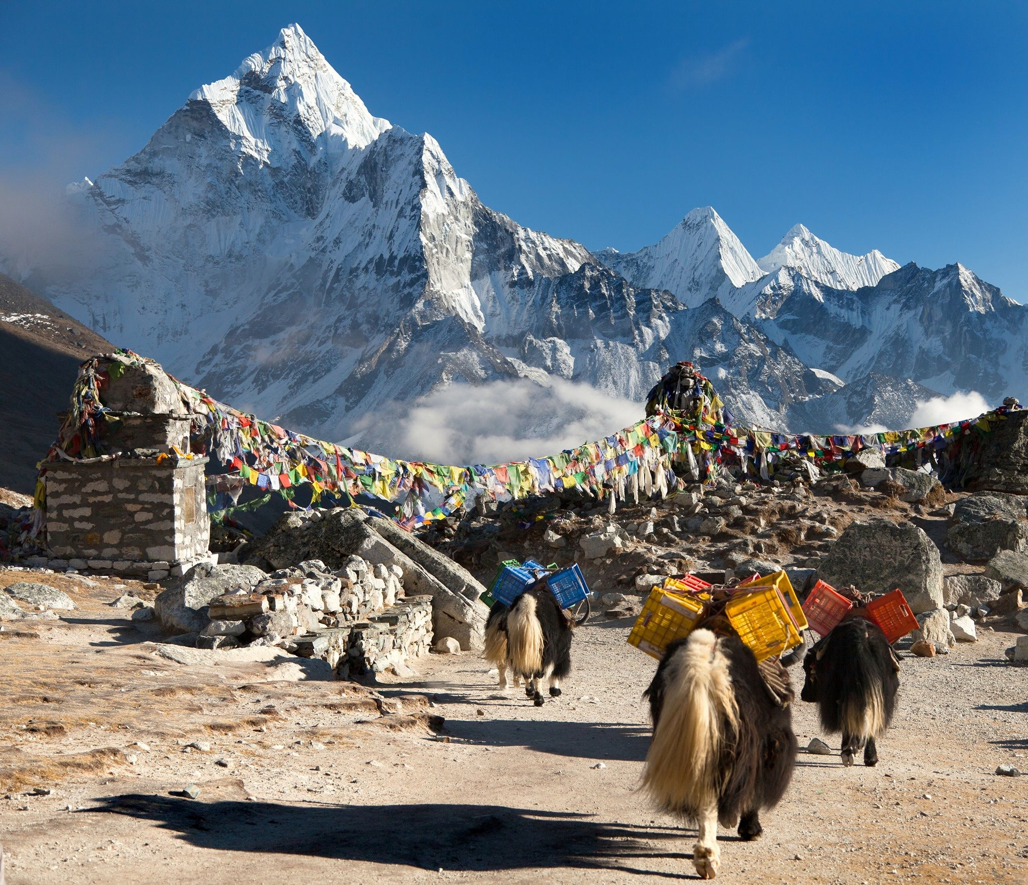
Soon you will cross the wooden bridge over the Budhi Gandaki River and ascend to the village of White Kani, known for its yak herding community and picturesque setting. Continuing onward, you arrive at Samdo, a traditional Tibetan-style village near the Nepal-Tibet border. Samdo offers a chance to explore nearby settlements or hike to Samdo Peak for panoramic views. The region is culturally rich and known for its bustling yak caravans, which you might be lucky enough to witness crossing the border.
From Samdo, trekkers often make a day trip to the Tibetan border, where the view opens to both Nepal and Tibet. Nearby, the massive Samdo Glacier features towering ice seracs, and the area is habitat to wildlife such as blue sheep, pikas, and marmots during the season.
The final stretch of the day leads you to Dharmasala (Larke Phedi), a remote, high-altitude settlement at 4,470 meters. This area is sparse and rugged, with limited vegetation, marking a preparation point for the upcoming Larkya La Pass crossing. Due to the altitude and isolation, nights here are cold, and accommodations are basic but sufficient for rest before the challenging pass ahead.
The hike today is roughly 5 to 6 hours, but the altitude requires a slow pace and attention to your body’s response. Enjoy spectacular views of the surrounding Himalayan peaks as you trek through this pristine region.
Trek time: 9- 10 hours (depending on pace and conditions)
Overnight: Bhimthang
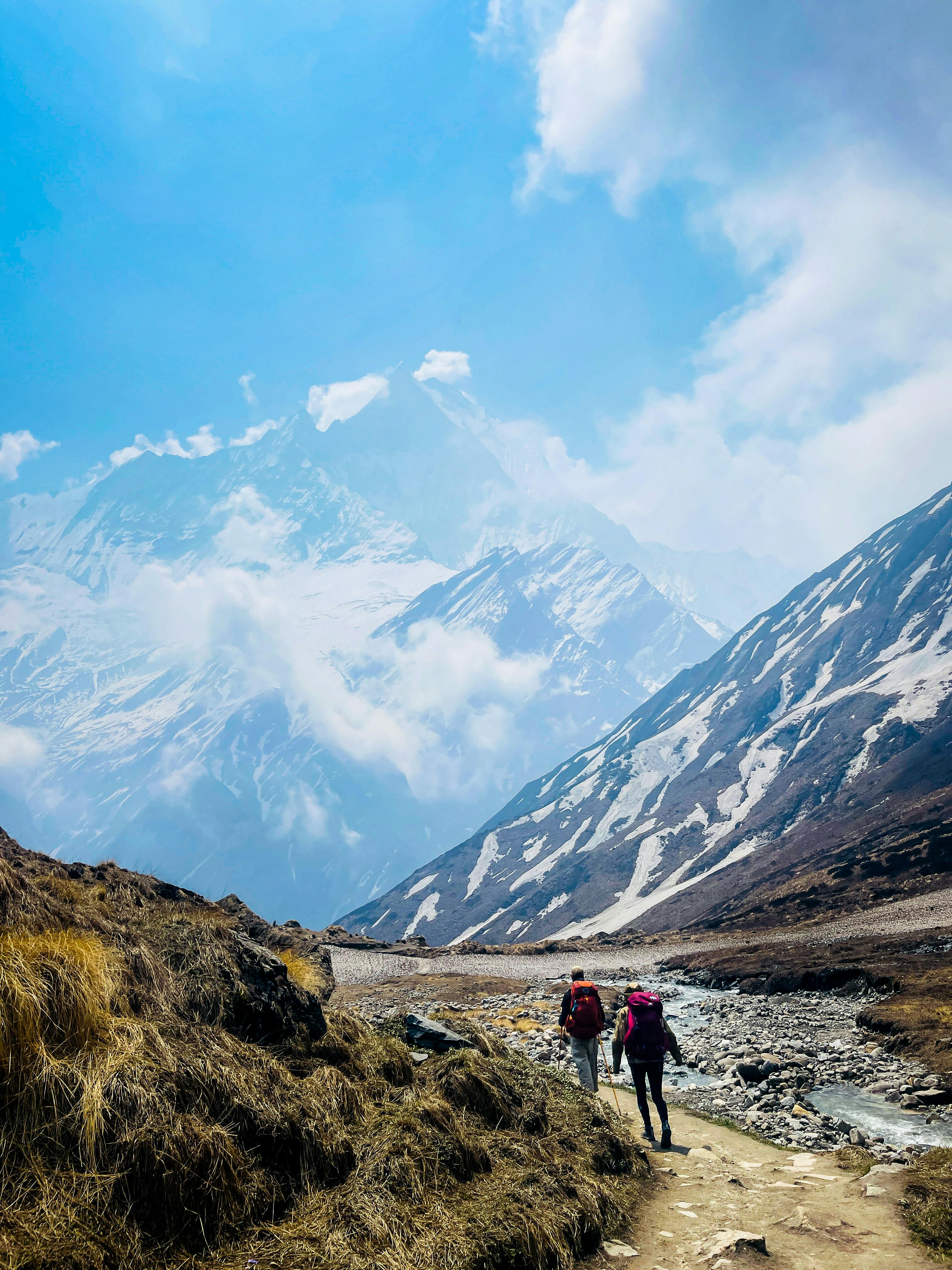
This is the most challenging and rewarding day of the trek. You will start very early, usually around 3 a.m., to make the slow ascent to Larkya La Pass, the highest point on the trek at 5,160 meters (16,929 ft.). The trail is exposed, rocky, and can be covered in snow depending on the weather, requiring caution and steady pacing.
Reaching the pass is an exhilarating achievement, offering panoramic views of towering Himalayan giants including Himlung Himal (7,126 m / 23,379 ft), Kang Guru (6,981 m / 22,903 ft.), Cheo Himal, and the imposing peaks of the Annapurna range, such as Annapurna II (7,937 m / 26,040 ft).
After spending some time soaking in the spectacular scenery at the pass, you will begin a steep descent toward Bhimthang at 3,720 meters. This descent can be tough on the knees but rewards you with magnificent glacial landscapes, including views of the Pongkar Tal nestled between the Pongkar and Salpu Danda Glaciers.
The full day’s trek can take 7 to 10 hours depending on your pace and weather conditions. Overnight accommodations in Bhimthang are basic but comfortable, with meals provided to help you recover for the days ahead.
Trek time: approx. 9- 10 hours (depending on pace)
Overnight: Dharapani
Today marks a long descent from Bhimthang through diverse and stunning landscapes. You will trek through alpine meadows dotted with yak pastures and enter dense forests filled with rhododendron and oak trees. The trail passes Yak Kharka, crosses several rivers including the Dudh Khola, and continues down into the warmer, lush lower-altitude villages of Karche and Tilje, where you will find apple orchards and terraced farming—signs of returning civilization.
Along the way, observe natural evidence of powerful floods—eroded banks and split tree trunks—especially near Gurung Goa, the first village after Samdo. The valley gradually becomes more agricultural and greener as you continue, mostly following the true right bank of the river to Tilje.
After crossing a suspension bridge past Tilje, the final stretch leads to Dharapani, a larger village and an important junction connecting to the Annapurna Circuit. This is a comfortable place to rest after a long day’s trek of approximately 7 to 10 hours.
Kathmandu Elevation: 1,300 m / 4,265 ft
Transport Time: Around 10 to 12 hours (depending on road and traffic conditions)
Distance: Approx. 243 km / 143 miles
After breakfast, you begin your journey back to Kathmandu by jeep or bus. The initial part of the drive from Dharapani to Besisahar follows a rough, unpaved road winding along the scenic Marsyangdi River. This section can take several hours depending on road conditions.
From Besisahar, the road improves and becomes paved, leading you through beautiful mid-hill landscapes and passing through various towns and villages. The remainder of the drive to Kathmandu takes approximately 6 to 7 hours.
This long journey marks the official end of your trek. Once in Kathmandu, you’ll have the chance to relax and reflect on your incredible adventure around the Manaslu region.
 Trekking Gears And Equipments


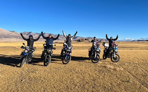
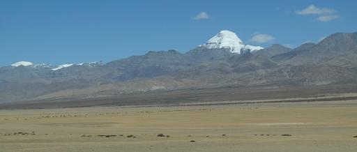
 Sweet Memories